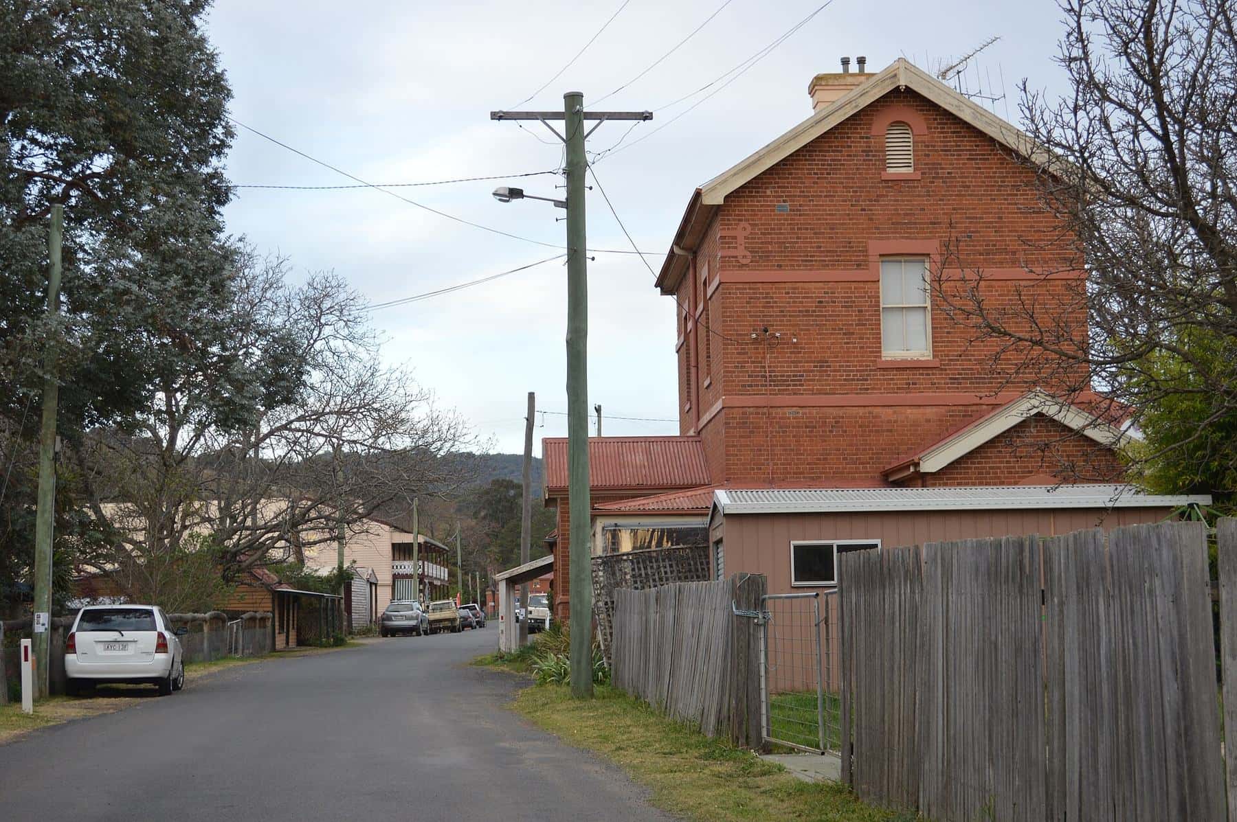
The Gold Trails are six recommended self-drive routes that string together the former gold towns, mining relics and bushranger sites of central and southern New South Wales. They were designed to follow the old coach roads and escort routes rather than the fastest highway, so they take you through villages that the gold rush made and the railways later bypassed.
Bathurst to Forbes
Escort Rock Gold Trail
- Distance
- About 200 km
- Driving
- About 2½ hours driving
- 1Bathurst
- 2Sofalaoptional detour
- 3Hill Endoptional detour
- 4Lucknow
- 5Orange
- 6Ophiroptional detour
- 7Cudal
- 8Canowindra
- 9Eugowra
- 10Forbes
Don’t miss
- Hill End Historic Site
- Ophir, Australia’s first payable goldfield
- Escort Rock near Eugowra, scene of the 1862 gold escort robbery
Distances and times are approximate for the main route and exclude optional detours. Check live road conditions with Live Traffic NSW.
How to choose a trail
Each trail has a distinct character. Use this table to match a route to the time you have and the stories you want to follow.
| Trail | Route | Approx. distance | Best for |
|---|---|---|---|
| Southern | Yass – Gundagai – Adelong – Tumut – Kiandra | 270 km | Mill ruins, river towns and the high-country goldfield |
| Ben Hall Gang | Yass – Binalong – Harden – Young – Grenfell – Forbes | 230 km | Bushranger history and the Lambing Flat story |
| Escort Rock | Bathurst – Lucknow – Orange – Canowindra – Eugowra – Forbes | 200 km | First-timers: Ophir, Hill End and Escort Rock |
| South-Western | Gundagai – Harden – Temora – West Wyalong | Full day | Wheatbelt reef goldfields and quiet roads |
| Newell | West Wyalong – Forbes – Parkes – Peak Hill | 250 km | Linking the western goldfields along the Newell Highway |
| Abercrombie | Goulburn – Crookwell – Tuena – Abercrombie Caves – Bathurst | 200 km, some gravel | Back roads, villages and caves |
Distances are for the main route without optional detours and are rounded; allow far more time than the driving alone suggests.
Linking trails into a longer road trip
The trails share junction towns, which makes it easy to build a loop.
- Four days, Central West loop: Escort Rock Gold Trail from Bathurst to Forbes, then the Ben Hall Gang trail in reverse from Forbes to Yass, and back to Bathurst via the Abercrombie trail from Goulburn.
- Five days, south and west: Southern Gold Trail from Yass to Kiandra, back to Gundagai, then the South-Western trail to West Wyalong and the Newell trail north to Forbes and Parkes.
- A long weekend from Sydney: drive to Bathurst, spend a day at Hill End and Sofala, then follow the Escort Rock trail as far as Eugowra before returning via Orange.
South-Western Gold Trail
The South-Western Gold Trail heads from Gundagai across the South West Slopes and into the wheatbelt: Gundagai, Jugiong, Yass (optional), Binalong, Harden, Young (optional), Wallendbeen, Cootamundra (optional), Temora, Barmedman, Wyalong and West Wyalong, with an optional extension to Mirrool.
Its first half overlaps the bushranger country of the Ben Hall Gang trail. Beyond Cootamundra the landscape opens into broad paddocks and the story shifts from 1860s alluvial rushes to later reef mining. Temora’s goldfield dates from the late 1870s and 1880s, and Wyalong and West Wyalong grew from reef gold found in the 1890s — the twin towns’ unusual layout reflects the rival settlements that formed around the diggings. Expect long straight roads, big skies and very few tourists. Fuel up in the larger towns, and allow a full day if you want to stop at the local museums.
Newell Gold Trail
The Newell Gold Trail connects the western goldfields along and near the Newell Highway: West Wyalong, Barmedman (optional), Lake Cowal (optional), Forbes, Parkes, Peak Hill and Tomingley (optional).
Forbes was the hub of the Lachlan goldfield after gold was found there in 1861, and is where Ben Hall is buried. Parkes began as a gold settlement before becoming a rail and farming centre — today it is better known for the CSIRO radio telescope north of town. Peak Hill offers a walking track around the rim of a former open-cut gold mine with views into the pit. Lake Cowal, east of West Wyalong, is the site of a large modern gold mine, a reminder that gold is still mined in the region today.
Practical tips for every trail
Start early. Museums and visitor centres in small towns often keep short hours, and some open only on certain days of the week. Ring ahead if a particular site is the reason for your trip.
Pick a base, not a bed every night. Most trails can be driven in a day, so staying two nights in one town and doing a loop is often more relaxing than moving on daily.
Look beyond the main street. Many gold-era relics — Chinese gardens, cemeteries, water races, mullock heaps — sit on the edges of towns. Local visitor centres usually have heritage walk maps.
Check the season. The Southern trail’s final leg to Kiandra crosses alpine country on the Snowy Mountains Highway. Snow and ice can affect it in the cooler months, and summer bushfire risk can close parks — check Live Traffic NSW and NSW National Parks alerts on the day.
Fossick responsibly. Several trails pass public fossicking spots. Use hand tools only and follow our NSW fossicking rules.
Guides in this section
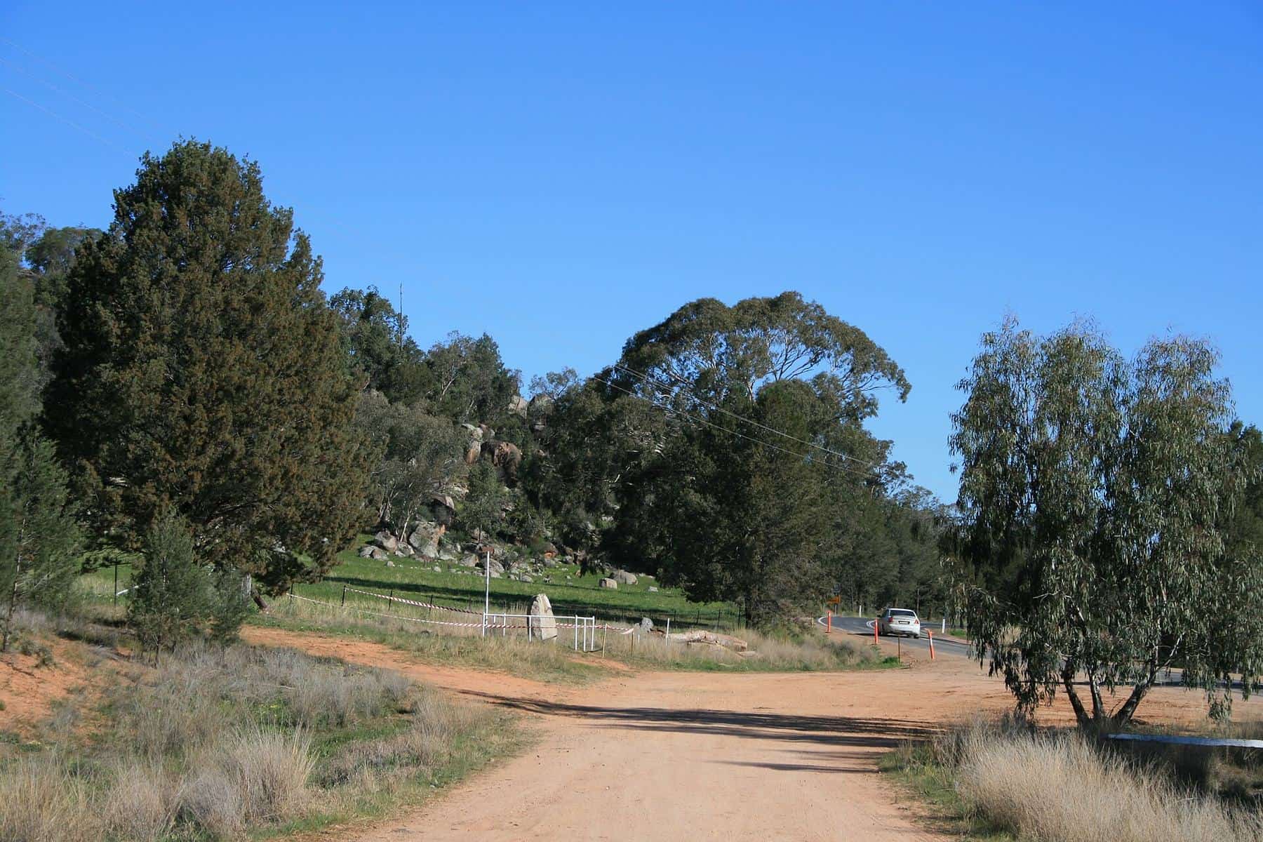
Gold Trail · about 200 km
Escort Rock Gold Trail — Bathurst to Forbes
Drive the Escort Rock Gold Trail from Bathurst to Forbes via Hill End, Lucknow, Orange, Ophir, Canowindra and Eugowra — stops, history, timings and tips.
Read · 6 min
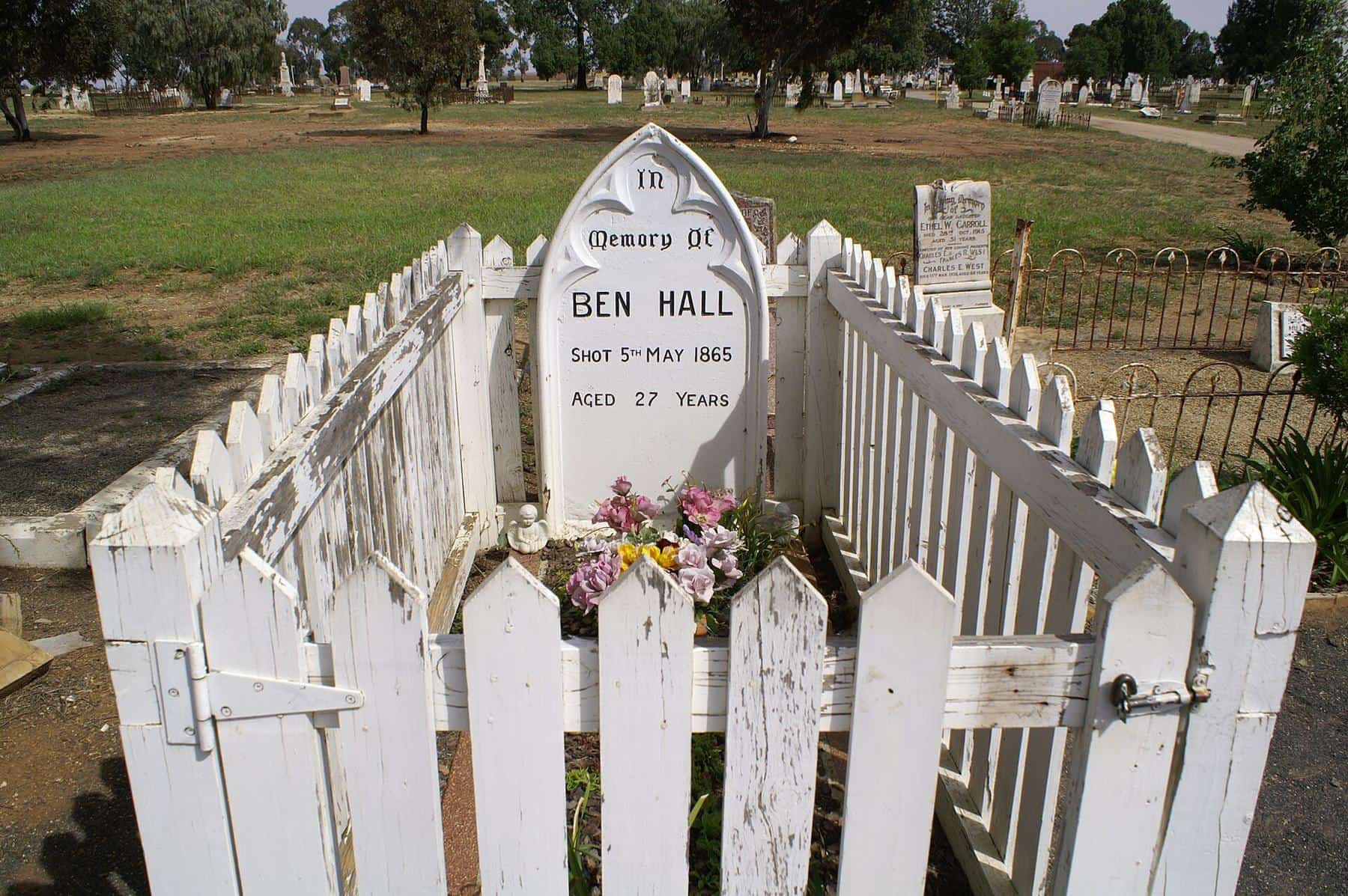
Gold Trail · about 230 km
Ben Hall Gang Gold Trail — Yass to Forbes
Follow the Ben Hall Gang Gold Trail from Yass to Forbes via Binalong, Harden, Young and Grenfell — bushranger sites, Lambing Flat, graves and memorials.
Read · 4 min
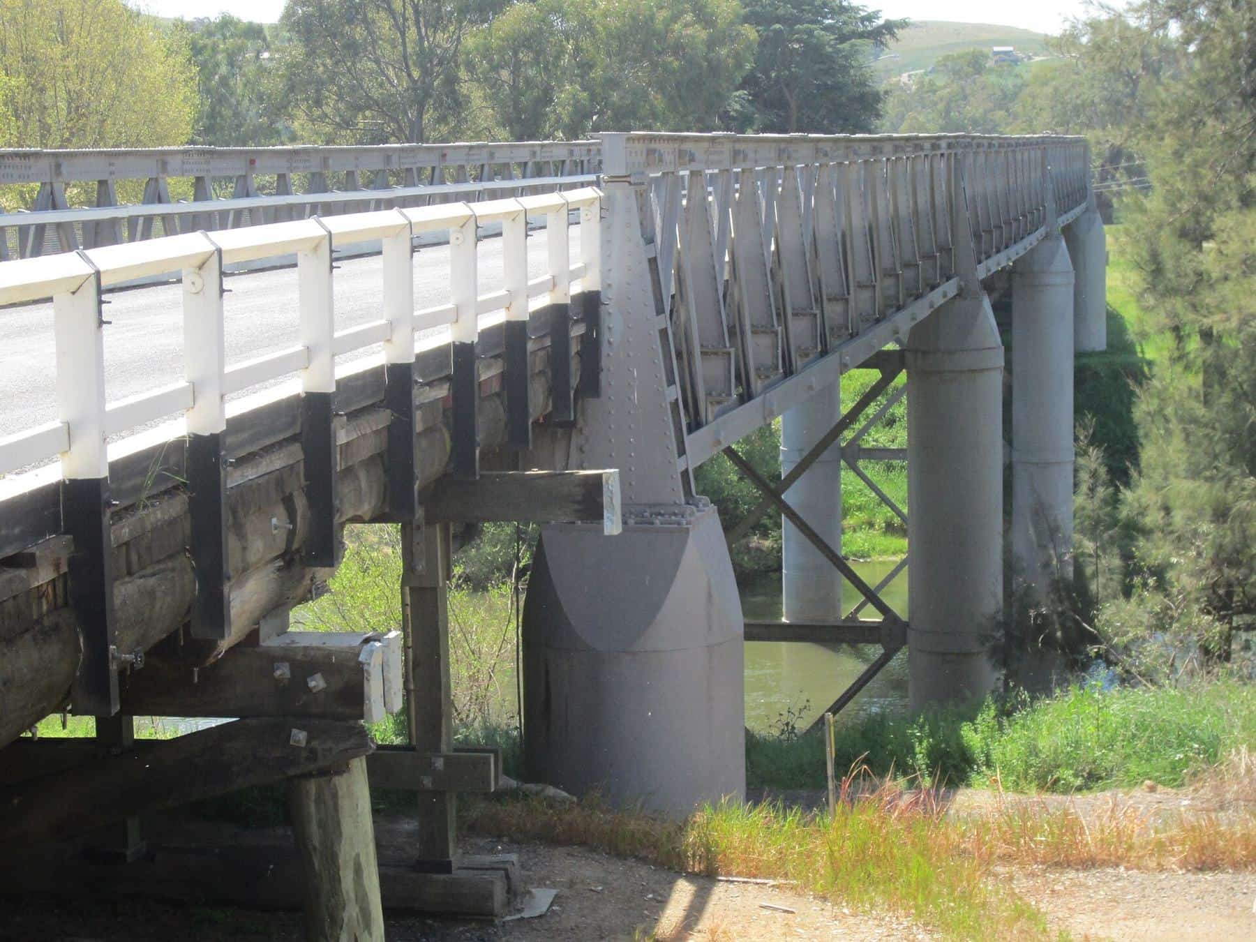
Gold Trail · about 270 km
Southern Gold Trail — Yass to Kiandra
Drive the Southern Gold Trail from Yass to Kiandra via Binalong, Jugiong, Gundagai, Adelong and Tumut — mill ruins, bushranger graves and the alpine goldfield.
Read · 4 min
Gold Trail · about 200 km
Abercrombie Gold Trail — Goulburn to Bathurst
The Abercrombie Gold Trail from Goulburn to Bathurst via Crookwell, Binda, Tuena, Abercrombie Caves and Trunkey Creek: villages, bushrangers and caves.
Read · 4 min
Frequently asked questions
Which Gold Trail is best for a first visit?
The Escort Rock Gold Trail from Bathurst to Forbes packs in the most famous sites — Ophir, the optional Hill End and Sofala detours, the Lucknow mine relics and Escort Rock itself — in about 200 km of driving.
Are the Gold Trails signposted?
Treat them as recommended itineraries rather than a continuously signposted route. Use the stop lists and map on this page with a navigation app, and look out for local heritage signage in the towns.
Do I need a 4WD for the Gold Trails?
No. The main routes use sealed roads suitable for a conventional car. The Abercrombie Gold Trail includes some well-used gravel sections, and side trips to old mine sites can be rough — check local conditions after rain.
Can I do the Gold Trails with a caravan?
Most of the trails are fine for caravans, but the narrow, winding roads into Hill End and some of the Abercrombie back roads are better tackled with a car. Leave the van in Bathurst or Orange for those detours.
Sources and further reading
Facts on this page were checked against these primary and official sources. Conditions change — confirm before you travel or buy.
- Live Traffic NSW — Transport for NSW
- Hill End Historic Site — NSW National Parks and Wildlife Service
- Adelong Falls Gold Mill Ruins — Destination NSW